 Hover to Inspect
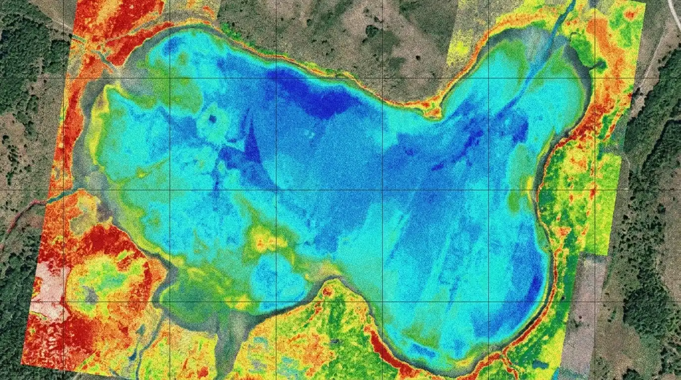
HyperSlit
An elite, high-resolution spectral mapping solution designed directly for the DJI Matrice 300 & 350 RTK. HyperSlit translates flight patterns into precise, decision-ready GIS mapping datasets.
Select Range Configuration
Spectrum Ranges Visualization
Hover or select a sensor configuration above to trace its light range across the visible, ultraviolet, and infrared spectral signatures.
High-Resolution Sensor Core
Engineered with an premium optical slit architecture delivering sub-nanometer data collection accuracy down to 0.5 nm resolution.
Co-Axial RGB Context Camera
Simultaneously captures rich natural RGB mapping alongside spectral readings, ensuring clear context matching for subsequent analysis.
180° Irradiance Sensor
Features a dedicated top-mount wide-angle hemispherical capture dome for real-time solar reference data acquisition.
DJI SkyPort V2
Features fully integrated physical connections, offering tool-less payload mounting and stable system drawing directly from DJI battery banks.
Direct GNSS/RTK Link
Directly maps coordinates from DJI's on-board enterprise GPS system into spectral data markers for centimeter-level accuracy mapping.
IP54 Rugged Enclosure
Lightweight carbon fiber and custom-alloy housing provides extensive dust resistance and splashproof protection.
Spectral Resolution
0.5 nm
Fine spectral detail for high-resolution reflectance analysis.
Compatible Drones
DJI Matrice 300 & 350 RTK
Built specifically for the DJI Matrice enterprise platform.
Available Ranges
SWIR, UVNIR, UV, VNIR, NIR
Five models to match different sensing objectives.
Dynamic Range
4600 : 1
Designed for strong tonal separation across the captured signal.
Signal-to-Noise Ratio
> 1500 : 1
Supports stable acquisition for demanding measurement tasks.
GPS / Positioning
Direct Drone GPS / RTK
Position data sourced seamlessly from DJI, supporting RTK workflows.
Camera
Co-axial RGB
Adds vital visual context alongside spectral metrics.
Irradiance View
180° Field of View
Wide irradiance capture for atmospheric reference calibration.
Output Workflow
Desktop Processing + GeoTIFF Export
Seamless pipeline from initial aerial acquisition down to GIS-ready mapping layers.
Payload requires standard Matrice SkyPort v2 hardware interfaces. Contact our support representatives if you need to double-check drone hardware compatibility parameters.
HyperSlit Software Stack
Accelerate field operations with proprietary dual-application systems built directly to harness HyperSlit hardware.
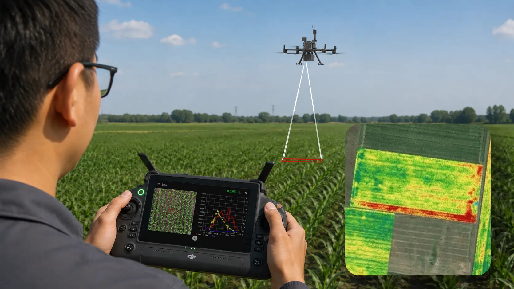
HyperSlit Viewer
A robust flight controller app providing real-time acquisition control, calibration checkups, and live spectral status indicators.
HyperSlit Mapper
A professional desktop mapping interface engineered to convert captures into fully processed, GIS-compatible orthomosaics and high-definition GeoTIFF files.